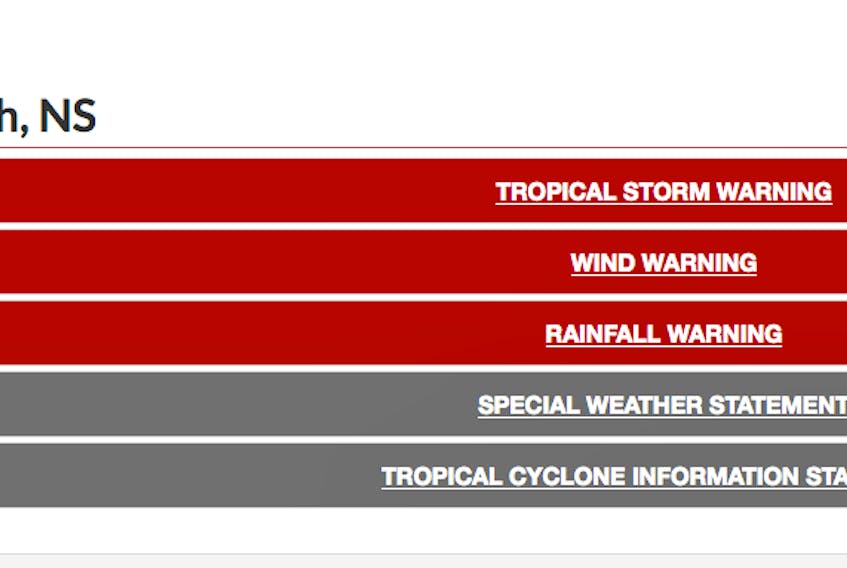
YARMOUTH, N.S. — Environment Canada has a tropical storm warning in place in southwestern Nova Scotia in association with Dorian but that warning comes coupled with wind and rainfall warnings that are in place as well.
There was some conflicting forecasts on Environment Canada's website Saturday morning around 11 a.m. in terms of wind gusts. Environment Canada said tropical storm force winds of 60 gusting to 90 km/h over exposed areas from Hurricane Dorian can be expected over regions where a tropical storm warning was in place. But in its wind warnings it was warning people that strong winds with severe and damaging gusts are expected or occurring. These winds could break tree branches potentially resulting in downed utility lines.
"Hurricane Dorian will approach Nova Scotia today and is forecast to make landfall near Halifax this evening," it said in an 11 a.m. wind warning posting. "Dorian is then expected to pass northeastward through mainland Nova Scotia before passing west of Cape Breton Island later tonight. Strong easterly winds with gusts to 80 to 100 km/h have begun and will spread northeast this afternoon and strengthen further this evening. This evening, winds will shift to northwesterly with gusts up to 110 km/h expected over exposed areas of the upper Fundy region from Digby County to Kings County as well as Cumberland and northern Colchester Counties. Over Yarmouth County, northwesterly winds will gust as high as 130 km/h along exposed areas of the coast."
CLICK HERE FOR ENVIRONMENT CANADA ALERT WARNINGS
As Dorian's track passes along the South Shore of Nova Scotia, hurricane warnings have been expanded by the Canadian Hurricane Centre to include Shelburne and Queens counties. Winds will diminish overnight tonight, but will remain breezy along the Northumberland coast into Sunday morning.
As of Saturday morning there were already areas in the region experiencing power outages in the province and in southwestern Nova Scotia. As of Saturday morning at 11:30 there were 12,674 customers affected by power outages and that number will no doubt increase as the storm continues its track in the region.
Most businesses have closed. The RCMP are advising people to stay off the roads unless absolutely necessary.
"As the storm approaches, it is important to remember that extreme weather will result in hazardous conditions, decreased visibility and possible hydro-planing on our roads and highways. Drivers may also encounter wind-blown debris on the road and sudden flooding which can be dangerous for motorists and detrimental to highway conditions," the RCMP says. "The RCMP encourage the public to keep the roads clear for emergency vehicles and refrain from unnecessary travel until after the storm has passed and clean-up efforts are complete. If you must travel, allow for additional travel time, let someone know your destination, slow down, watch for pooling water and use your hazard signals if you must stop along the way."
As the storm was approaching the RCMP encouraged the public to maintain a safe viewing distance along beaches and shorelines, well away from the water’s edge and stay completely off rocks, breakwaters, and piers where waves are breaking. Storm-driven waves and tides can cause unpredictable and deadly conditions, as anyone close to the coast could be swept into the ocean. With the storm here now best to stay away completely. In HRM they've been encouraging people in coastal areas to evacuate.
Several traffic lights in Yarmouth were not working as of Saturday morning. Drivers are required to treat intersections as 4-way stops and proceed with extreme caution, although you should stay off the roads anyway given flying debris and the chance of down power lines.
There were also reports coming in of flooded basements.
For further information on emergency preparedness, visit the Nova Scotia Emergency Management Office Web site https://beta.novascotia.ca/government/emergency-management-office.
EMERGENCY MEASURES ORGANIZATION: Hurricane Dorian Update, Saturday, Sept. 7, Noon: Hurricane Dorian is moving quickly towards the Maritimes and is expected to make landfall near the central part of the Atlantic Coast this evening as a hurricane. Sustained winds of 120-to-150 km/hour and 100-to-150 mm of rain are expected. Canso Causeway will be closed to high-sided vehicles at 2 p.m. Check 511 for updates. Halifax/ Dartmouth Bridges will close when winds reach 120 km per hour
COMFORT CENTRES:
Here is information from the Municipality of Argyle about the storm and also comfort centres that are set up: https://www.munargyle.com/en/emergency-measures-organization.html?fbclid=IwAR1jTNPl4BrLWpG42M6-BfIHG99R8FW5YHMPwnwgRElORSwVgF5OvgJGFmc
OTHER STORM STORIES: